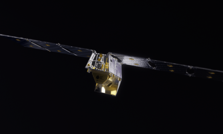
Google is funding an AI-powered satellite constellation that will spot wildfires faster

Agencies around the world should be able to receive hourly wildfire updates once about half of the constellation is operational, says Brian Collins, executive director of the Earth Fire Alliance. It hopes to launch all 52 satellites by around the end of this decade.
Each satellite is designed to last about five years, so the organization will eventually need to deploy 10 more each year to maintain the constellation.
The Earth Fire Alliance has secured about two-thirds of the funding it needs for the first phase of the program, which includes the first four launches. The organization will need to raise additional money from government agencies, international organizations, philanthropies, and other groups to deploy, maintain, and operate the full constellation. It estimates the total cost will exceed $400 million, which Collins notes “is 1/1000th of the economic losses due to extreme wildfires annually in the US alone.”
Asked if commercial uses of the data could also support the program, including potentially military ones, Collins said in an email: “Adjacent applications range from land use management and agriculture to risk management and industrial impact and mitigation.”
“At the same time, we know that as large agencies and government agencies adopt FireSat data to support a broad public safety mandate, they may develop all-hazard, emergenc[y] management, and security related uses of data,” he added. “As long as opportunities are in balance with our charter to advance a global approach to wildfire and climate resilience, we welcome new ideas and applications of our data.”
‘Living with fire’
A wide variety of startups have emerged in recent years promising to use technology to reduce the frequency and severity of wildfires—for example, by installing cameras and sensors in forests and grasslands, developing robots to carry out controlled burns, deploying autonomous helicopters that can drop suppressant, and harnessing AI to predict wildfire behavior and inform forest and fire management strategies.
So far, even with all these new tools, it’s still been difficult for communities to keep pace with the rising dangers.
Dargan Marquis—who founded her own wildfire software company, Intterra—says she is confident the incidence of disastrous fires can be meaningfully reduced with programs like FireSat, along with other improved technologies and policies. But she says it’s likely to take decades to catch up with the growing risks, as the world continues warming up.
“We’re going to struggle in places like California, these Mediterranean climates around the world, while our technology and our capabilities and our inventions, etc., catch up with that level of the problem,” she says.
“We can turn that corner,” she adds. “If we work together on a comprehensive strategy with the right data and a convincing plan over the next 50 years, I do think that by the end of the century, we absolutely can be living with fire.”


